Field notes: the concession corner nobody thought to watch
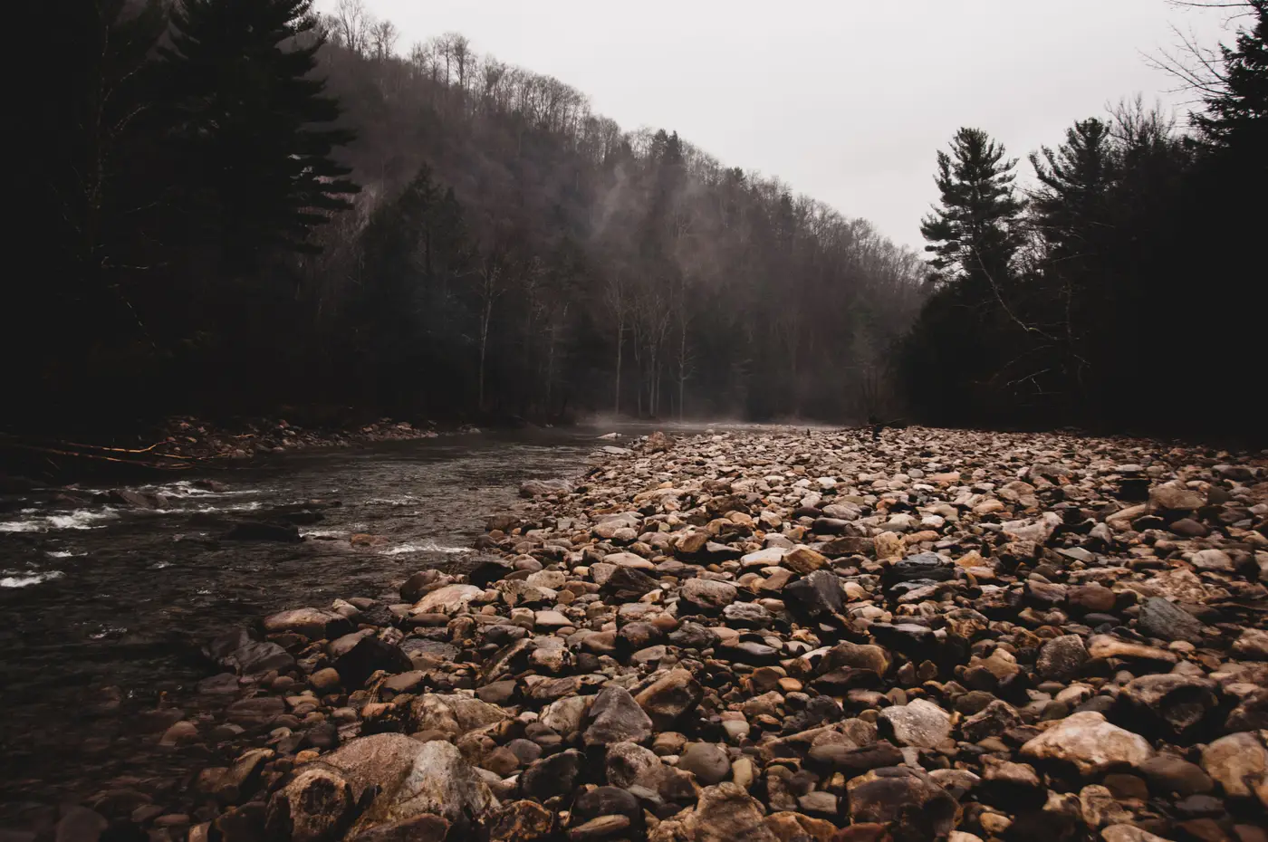
Every concession has one. The corner past the last haul road junction, down where the access track turns to footpath, or the strip along a riverbend that the survey crew only visits once a year to check the boundary pillar is still standing. It sits too far from the pit office to justify the fuel, and because nothing has ever happened there, nobody budgets time for it.
That's exactly the corner worth worrying about.
Illegal workings don't start in the middle of an active pit where a shift supervisor will trip over them by Tuesday. They start where the boundary is a line on a cadastral map and nothing on the ground, where the nearest permanent structure is a rusted survey beacon nobody has checked in eighteen months. A clearing of a few hundred square metres doesn't draw attention from a road that isn't there. A processing pond dug into a dry creek bed looks, from any angle a patrol vehicle could actually drive, like just another puddle.
Talk to enough people who run field checks and a pattern shows up. The sites that get found are usually found by accident: a contractor doing something unrelated, a helicopter flight for a different survey, someone's cousin mentioning it at a bar two towns over. The patrol route, by definition, goes where patrols have always gone: the active faces, the main access roads, the stockpile yards. The corners that never had a reason to be watched stay unwatched, which is precisely why they're useful to someone who doesn't want to be watched.
There's a quieter version of this problem too, one that has nothing to do with intent. Boundaries shift administratively. A lease gets amended, a buffer zone gets redrawn after a community consultation, and the map in the district office updates before anyone updates the mental map the patrol crew carries around. For a season or two, there's a strip of land that used to be someone else's problem and is now yours, and nobody has walked it yet because nobody has been told to.
Running more patrols doesn't solve this on its own. A concession can span fifteen, twenty, forty square kilometres, and a ground crew with fuel, time, and daylight to burn can cover only a fraction of that in a week. Walking the whole perimeter on a schedule just to check the one corner you're worried about means walking past a lot of ground that hasn't changed, which is a fine way to spend a budget and a bad way to catch anything.
Narrowing the question before anyone drives out works better than widening the patrol route. The question that matters is whether that specific corner, the one past the last junction, looked any different this month than last. Answering it is a comparison problem: a picture of the ground taken on a schedule, set against the one before it, does that more reliably than relying on memory of what the spot looked like last time someone drove past.
That's the gap Illegal Mine Map is built to close: a monthly look at the whole concession, including the corners nobody has a routine reason to visit, flagging the spots where bare earth or a new pond has shown up since last time, so the field check goes straight to the coordinates that changed.
If there's a corner of your concession you haven't had eyes on since the last boundary survey, that's a reasonable place to start watching.