Field notes: the dry season that turned every sandbar into a dig
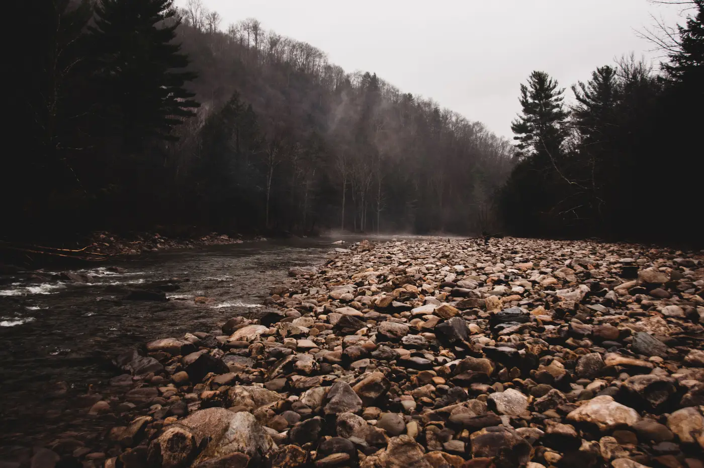
By late July the river had dropped enough that you could walk from one bank to the other in three places without getting your boots wet. That's the part nobody warns new officers about. The dry season doesn't just make patrolling easier. It makes the ground itself easier to work, and the two things happen at the same time, which is the problem.
A sandbar that was underwater in April is bare, flat, and unclaimed by October. No vegetation to clear, no overburden to strip, just gravel and whatever's sitting in it. For a small crew with a sluice box and a generator, that's about as close to free setup cost as this trade gets. We saw four new workings appear on one bend of the river in a single dry season, each one on a bar that hadn't existed as exposed ground six months earlier.
The pattern repeats every year and somehow still catches patrol schedules off guard. Routes get planned around road access and known hotspots from the last wet season. But water levels move the hotspots. A bend that was unworkable in March because it sat under two meters of current becomes the easiest dig in the district by August, and it's rarely on anyone's list because it wasn't there last time someone walked the bank.
What changes first, almost always, is the color of the water downstream. A sandbar dig doesn't stay dry for long once someone's running a sluice through it. The tailings go straight back into the channel, and you get a plume of turbid water trailing off the workings that's visible from a boat a kilometer away, sometimes longer depending on the current. Officers who've worked a stretch of river for a few seasons learn to read that plume almost like a signature. Fine silty discharge, steady and pale, usually means hand-dug alluvial work. A heavier, more episodic surge often means someone's running a pump.
The trouble is you can't read a plume you never pass. Most concessions along a river system are long, the access points are few, and a dry-season crew on a new bar might run undetected for weeks if the nearest patrol route doesn't happen to pass that bend. By the time a tip comes in, usually from a fisherman complaining about silted nets, the dig has already been worked, abandoned, and left as a crater that fills in with the next flood. The evidence washes out before anyone gets eyes on it.
A crew working a bare bar can set up, strip and wash a few truckloads of gravel, and clear out inside two or three weeks, often less time than it takes a forty-kilometer patrol route to cycle back through that stretch of bank. A concession that long has no realistic way to walk every exposed bar every week between July and November, and that's exactly the window when it matters most.
What's changed in the last few years is that you don't have to rely only on the next flyover or the next tip-off to know a bar's gone from bare gravel to active dig. A monthly scan over the same stretch of river can flag the new clearings and the turbid water where there wasn't any the month before, which turns a forty-kilometer patrol problem into a short list of coordinates worth a boat trip. We built a map layer around exactly that use case for exactly this season, when every sandbar is a liability until someone's checked it.
The water will come back up in a few months and most of these bars will disappear under current again, workings and all. That's not the end of the problem. It just means next year's dry season will expose a slightly different set of bars, and the same question comes around again: which ones got touched this time.