Field notes: the headman who called it in before our pass ever flagged it
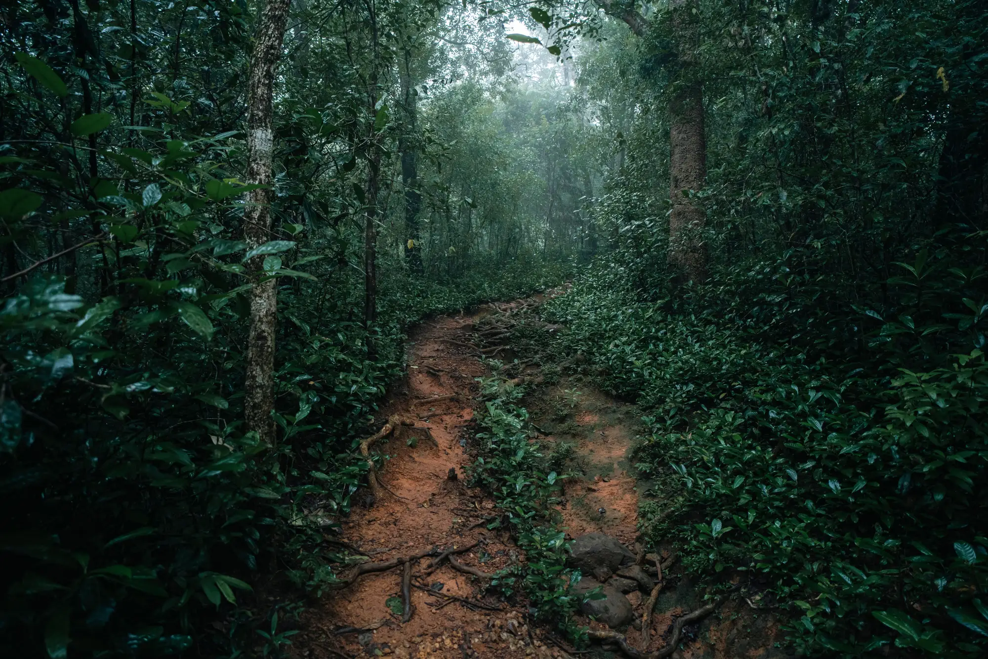
The call came on a Tuesday. A headman from a village bordering the northern block, phone credit nearly gone, saying there were "new people" cutting along the creek past the old boundary marker. No GPS point, no photo, just a direction and a feeling that something was wrong.
By the time anyone walked out there, the clearing was four days old and already had a sluice running. Our own monthly pass hadn't come due for another ten days. If we'd waited for it, we'd have found the same site, just later, and with more ground already stripped.
This happens more than the satellite crowd likes to admit. People who live next to a concession notice things long before any scan does: a new footpath worn into the grass, strange trucks at odd hours, generator noise that doesn't belong. A tip-off from someone on the ground is often the fastest signal there is. It's also the least reliable one to build a whole monitoring program around.
Headmen have their own politics. Some report everything because they want the encroachment gone as badly as the concession holder does. Others sit on a report for weeks because the people doing the digging are nephews, or because the local chief took a cut and doesn't want questions asked. A tip can be gold or it can be noise dressed up as gold, and from the office you often can't tell which until someone's already driven two hours to check.
That's the gap a monthly scan is actually good for: the sites nobody called in at all. The sites nobody local wants reported, the ones tucked far enough from any village that word never travels, the slow creep along a boundary where "that's always been a bit cleared" turns into six hectares over a dry season. A tip-off tells you about the mine someone wants you to know about. A scan tells you about the one nobody mentioned.
What's changed for us is using the scan to grade the tips. When the headman called about the creek, the most recent pass over that block was still two weeks away. We sent someone anyway, because a direct report with a landmark is worth acting on regardless of what the imagery shows. But for the vaguer calls, the "I heard there's something near the river, not sure exactly where" kind, waiting for the next flagged clearing on the map layer and lining it up against the tip has saved a lot of fuel and a lot of goodwill with rangers who'd rather not walk eight kilometers on a rumor.
The headman's call was right, as it happens. It usually is, when someone bothers to pick up the phone. His information was solid. What we lacked was a way to prioritize it against everything else competing for a field team's time that week, and a record of whether the same stretch of creek had been quietly expanding for months before anyone noticed. A standing month-over-month layer of flagged clearings gives you that second half of the picture, the part a single good tip-off can't carry on its own.
None of this replaces people who know their own ground. It just means they're not the only thing standing between you and the next sluice on the creek. Worth a look if your district is still running on calls and gut feeling alone.