How to tell a legal quarry from an illegal pit in satellite imagery
A concession officer looking at a fresh clearing on screen can't just eyeball it and know whether it's licensed. Satellite imagery shows surface disturbance, not paperwork. But there are tells worth knowing before you spend a field day on a site that turns out to be inside someone's permit.
Start with the shape, not the color
Legal quarries tend to work in benches, terraced cuts that grow in a planned sequence, usually with a haul road wide enough for a dump truck. The clearing expands outward in a traceable pattern over successive months because someone is following a mine plan. An artisanal or unlicensed pit usually starts as a rough circle or an irregular scrape hugging a riverbank or ridge line, widening wherever the ore or gravel is easiest to reach that week. Shape alone isn't proof of anything. A licensed operation generally looks engineered, an unlicensed one generally looks improvised.
Check the water
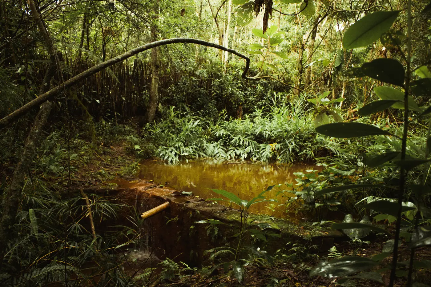
Tailings ponds and sediment runoff look different depending on how the site manages water. A permitted quarry usually has settling ponds with defined edges, sometimes lined, sometimes stepped. A small-scale or illegal dredging or panning operation often shows up as a turbid, brown-orange plume bleeding into a creek with no containment at all. If you see discolored water trailing downstream from a clearing that wasn't there last month, that's worth a closer look regardless of the shape of the pit itself.
Overlay the boundary before you decide anything
A well-run licensed quarry can look rough in its first few months of development. A sophisticated illegal operation can look tidy. The only way to know for certain is to put the clearing against your actual permit or concession boundary and see where the edges fall. A clearing fully inside a licensed block is the operator's business, even if the shape looks messy. A clearing that straddles or sits entirely outside the boundary line is what needs a field visit, no matter how neat the benches look.
This is the step most patrol routines skip, because lining up a boundary shapefile against fresh imagery by hand, for every new clearing across a whole concession or district, is slow work nobody has spare hours for. Illegal Mine Map does that overlay on a monthly scan: it flags new bare-earth clearings and turbid ponds and checks them against the licensed footprint, so what lands on your desk is a short list of coordinates sitting outside the line, not a mosaic you have to eyeball yourself.
What imagery can't settle for you
A boundary overlay still leaves a few questions for someone on the ground. Imagery won't tell you whether a clearing inside the boundary has drifted past its approved method or pit depth. It won't tell you whether the permit covering a block that looks abandoned is still valid. And it can't tell you who's actually running the equipment, which matters once you're deciding between enforcement and a courtesy notice. The imagery tells you where to point a field team. The legal call still belongs to a person who checks the permit file and talks to the operator.
A quick check for the next flagged site
- Does the clearing's growth pattern look planned, benches and haul roads, or opportunistic, a scrape following a vein or riverbank?
- Is there a containment structure around any pond, or is runoff heading straight into a waterway?
- Does the footprint sit inside, straddling, or outside the registered concession boundary?
- Has the site grown since last month, and in which direction?
Answer those four and you'll know within minutes whether a flagged clearing is worth a drive out or just a note in the file.
If your district has more flagged coordinates than you have field hours, that's the gap this tool is built to close.