Mercury pond or irrigation pond? Reading the signature in satellite imagery
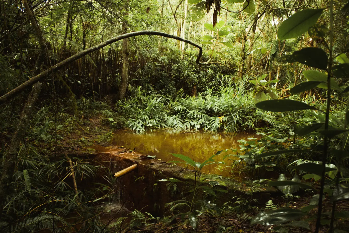
A pond shows up on this month's pass. It wasn't there last quarter. Before you dispatch anyone, you want to know if you're looking at a farmer's new irrigation reservoir or a gold processing pond tied to a fresh cut inside your concession. Color alone won't tell you. Shape, context, and what's happening around the water will.
Shape and placement say more than color
Irrigation ponds are built by someone who plans to keep farming the same ground for years. That shows up in the geometry. Look for a regular outline, often rectangular or a rounded square, with embankments of consistent width running the full perimeter. The pond usually sits inside or beside an existing parcel with visible crop rows, field boundaries, or orchard grids. Access is a farm track leading back to a homestead or a cluster of other fields, not a spur cut straight off a river.
Amalgamation ponds and sluice settling ponds look improvised because they usually are. The outline is irregular, sometimes kidney-shaped or stepped where a second small pond was dug next to the first once the first filled with tailings. You'll often see two or three of these in a short sequence rather than one clean basin. There's no crop pattern anywhere near it, just bare soil that was vegetated a few months ago. The track running to it tends to come from the riverbank or from a trail cut through forest or scrub, not from a farm road network.
Turbidity patterns and the clearing underneath it
Water color is a secondary check, not a first one, because both pond types can look turbid depending on rainfall and soil type. What matters more is what the color is doing over the stack of monthly images. A farm pond's turbidity tracks the rainy season: it clears between storms and the surrounding fields green up and brown down with the crop cycle on a schedule you can set your watch to.
A processing pond's turbidity runs on the work schedule instead of the rain schedule. It stays persistently cloudy, often with a yellow-grey or milky cast from suspended clay and fine sediment, because sluice runoff or dredge discharge keeps feeding it whether or not it's rained that week. Pull the time series and check it against the dry season: if the pond is still murky when every farm pond nearby has cleared up, that's a strong tell on its own.
The clearing underneath it is the other half of the signature. A new irrigation pond is usually dug into ground that was already cleared farmland, sometimes with a small apron of freshly turned earth from the excavation itself. A new amalgamation pond typically shows up paired with a patch of bare-earth clearing that wasn't there the pass before, cut straight into forest or riverbank vegetation, with no field pattern developing around it in the months after. Vegetation gets stripped for the pond and the processing area and stays bare. A farm field, by contrast, starts showing crop rows within a season or two.
What this does and doesn't prove
None of this confirms mercury is in the water. Optical imagery can't see a chemical signature, and a muddy pond next to a clearing could still turn out to be a legitimate borrow pit or a stalled farm project. What it does is narrow down which of the dozen new ponds on a concession-wide sweep are worth a field check first, instead of sending a team to every wet patch that shows up between passes.
That's the gap a monthly change list is built to close. Illegal Mine Map runs that comparison across a whole concession or district each month and flags new bare-earth clearings paired with turbid ponds, so the officers doing field checks start with coordinates instead of a blank map. If you're trying to shrink a patrol area down to the handful of sites that actually warrant a visit, that's worth a look.