Reopened pit or dead ground? Reading old workings in satellite imagery
Old workings don't read the same in two different years, and that's the whole problem when you're trying to triage a stack of coordinates before a field trip. A pit that's been dead for three seasons has a different signature than one that got reopened two months ago, but on a single frame of imagery they can look identical. Both are bare. Both are brown. Both show up as an anomaly against the forest or scrub around them.
The difference is mostly in what's growing back, and what isn't.
What regrowth actually looks like on a shut-down pit
Abandoned clearings start recovering almost immediately once the digging stops. Pioneer grasses and scrub come in from the edges first, so the margin of the clearing softens before the center does. On 0.5-2 m imagery you can usually pick out a ring of lighter green creeping inward over a few months, while the exposed subsoil in the middle stays bare longer because it's compacted and stripped of topsoil. Give it a year or two in a wet climate and the whole scar can be hard to spot against the canopy except for a slightly different texture and a faint access track going to grass.
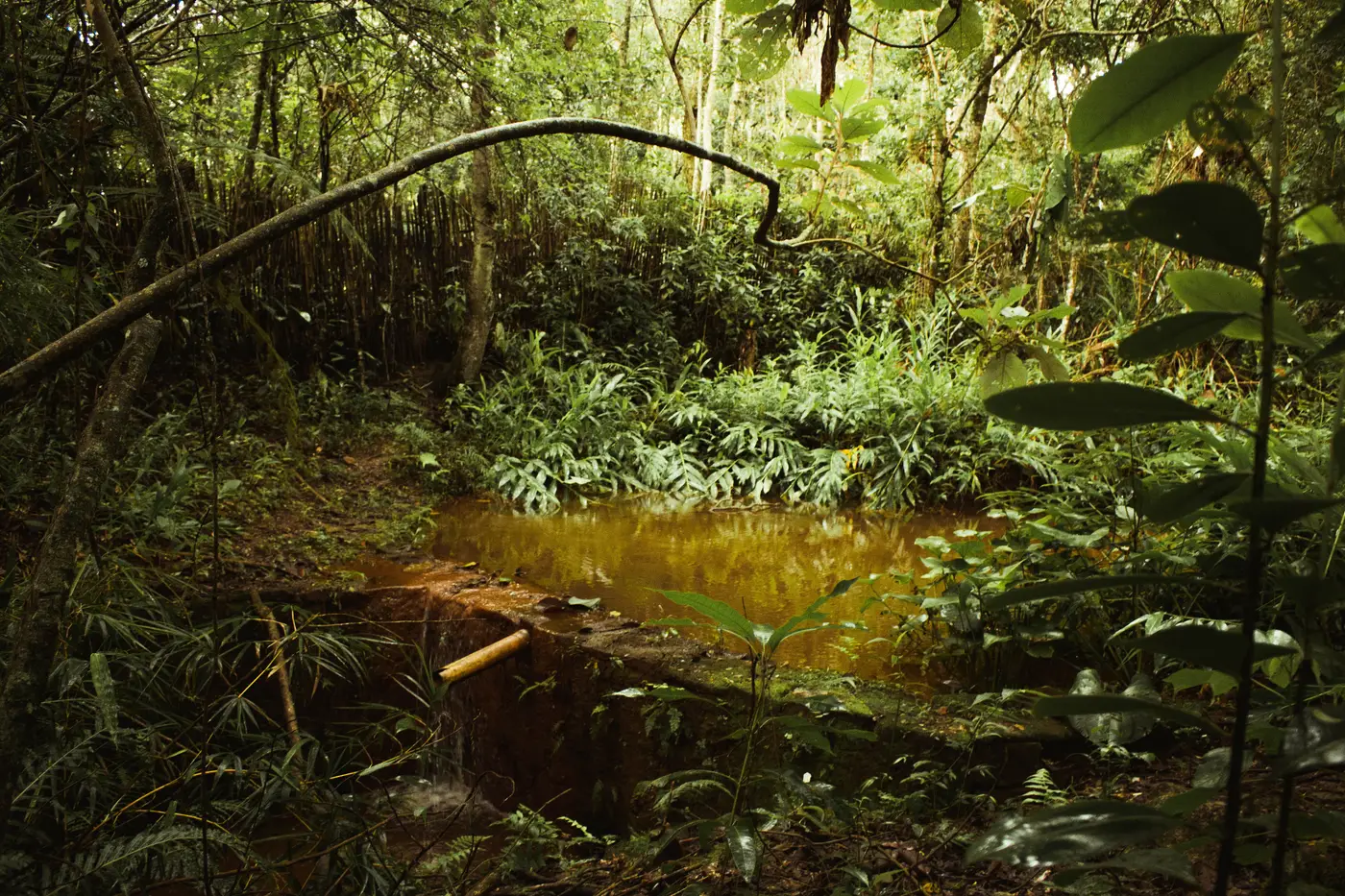
Processing ponds tell the same story. A pond nobody's working goes still. Algae and sediment settle out, the water darkens or greens up, and the banks start to blur with encroaching vegetation. Compare that to a pond in active use, where the water stays pale and turbid because someone keeps disturbing it, and the banks stay sharp and bare because people keep walking them to run sluices or pumps.
The signs that say someone's back on site
A reactivated pit usually runs the pattern backward from what you'd expect if the site had simply been left alone. Watch for:
- A bare-earth footprint expanding again at the margins, cutting back into vegetation that had clearly regrown
- A re-graded access track where the old route had grassed over or washed out
- A pond gone turbid again after a stretch of looking settled, or a new pond dug beside a dry one
- Spoil piles with sharp, unweathered edges sitting on ground that otherwise reads as recovered
- Equipment shadows or a staging pad that wasn't there on the prior pass
A single bare patch can be a fallen tree or a fire scar, and a dark pond can just be a dry season. Compare two dates at the same coordinates and the pattern separates itself: a clearing that's shrinking or growing, a pond that's settling or churning, a track that's fading or getting re-cut. One image tells you a site is disturbed. Two images, a month or a season apart, tell you whether that disturbance is old news or happening again right now.
Where this gets hard without a second look
Most concessions and districts carry more old scars than anyone has time to drive out to. A dormant pit from four years back and one reopened last week can sit two kilometers apart and look, from a single frame, like the same kind of problem. Officers working off one-off imagery or a phoned-in tip end up treating both the same way, which means wasted trips to dead ground and missed windows on sites that are actually moving.
A monthly pass over the same coordinates is what separates the two, because it turns the question from "is this bare patch suspicious" into "did this bare patch change since last month." That's the logic behind the monthly change layer behind Illegal Mine Map: new bare-earth clearings and turbid ponds get flagged against the prior month's pass, so a reopened pit shows up as a change worth a visit and a long-dormant one just sits quietly in the archive where it belongs.
If you're looking at a list of old coordinates and trying to work out which ones deserve a truck this month, that's worth a look.