What ground sample distance do you need to spot a new mining camp in satellite imagery?
Ground sample distance, GSD, is the size of one pixel projected onto the ground. A 10 m GSD means each pixel covers a 10 m by 10 m patch, so anything smaller than that gets blended into its neighbors and loses its shape. For spotting a new mining camp before it turns into an established working, GSD is the number that decides whether you see the problem early or after it's already dug in.
Why free imagery misses the early stage
Sentinel-2 and Landsat are free, which is why so many monitoring efforts start there, and their 10-30 m pixels are fine for tracking large-scale deforestation or river sediment plumes. They're not fine for a camp in its first weeks. A tarp shelter, a few square meters of cleared ground, a hand-dug test pit: none of that throws enough contrast at 10 m to separate from the noise around it. By the time a clearing is big enough to register clearly at that resolution, it's usually already got a generator, a crew, and a processing setup running.
At the other end, 30 cm commercial imagery can resolve individual roof sheets and tell a wheelbarrow path from a drainage line. That level of detail is useful for a specific site you already suspect, tasked and shot on demand. It's priced that way too, which rules it out for scanning an entire concession every month looking for sites you don't know about yet.
The 0.5-2 m range is built for patrol planning, not portraits
Somewhere in between sits the range that actually matches this job: 0.5-2 m. At that GSD you don't need to count roof sheets or identify a person. You need to catch two things:
- A bare-earth clearing cut into forest, scrub, or grassland, which reads as a sharp-edged patch against the surrounding ground cover well before any structure goes up.
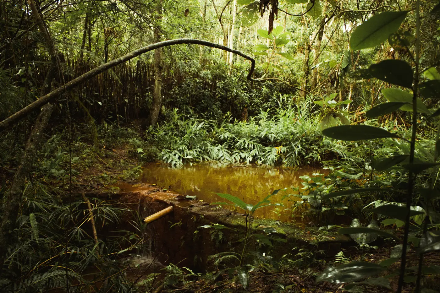
- A turbid processing pond, where amalgamation ponds and settling pits run a milky tan-to-orange color distinct from natural water, standing out as a color anomaly rather than requiring fine shape detail.
Both of those are disturbance signals, and disturbance signals survive at 0.5-2 m in a way they don't at 10 m. Spotting them just means flagging "something changed here that wasn't here last pass," a lower bar than identifying equipment or counting workers, and one that bare-earth scars and pond color clear easily at this resolution.
Cadence does half the work resolution gets credit for
A sharper pixel doesn't help much if the next pass is six months out. In most jurisdictions, a new camp moves from cleared ground to a working pit with ponds and access tracks in a matter of weeks, not months. If your imagery cadence is quarterly or worse, you're often looking at a site that's already operational by the time you catch it, which means the field check you send is an enforcement visit instead of a prevention visit.
Monthly cadence at 0.5-2 m catches the clearing stage specifically, which is the point where a coordinate pin and a field check still matter. Miss that window and resolution stops being the limiting factor.
You don't need more than RGB
A question that comes up here: do you need multispectral or SAR to catch any of this? For bare-earth clearings and turbid ponds, no. Plain color imagery carries both signals clearly enough to flag. The real bottleneck is reviewing every frame across a large concession, every month, by eye, and that's exactly the review work a flagged map layer takes off a small team's desk, as described on Illegal Mine Map's monitoring page.
So: for spotting new camps across a concession or district, skip the extremes. Free 10 m imagery runs too coarse to catch an early clearing, and tasked 30 cm imagery runs too narrow and too costly to scan a whole area monthly. The 0.5-2 m band, pulled on a monthly cadence, is where the actual signal (a new scar in the ground, a pond that wasn't turbid last month) stays visible without burning a budget built for site-specific jobs.
If you're trying to figure out where your next field check should go instead of guessing, Illegal Mine Map is worth a look.